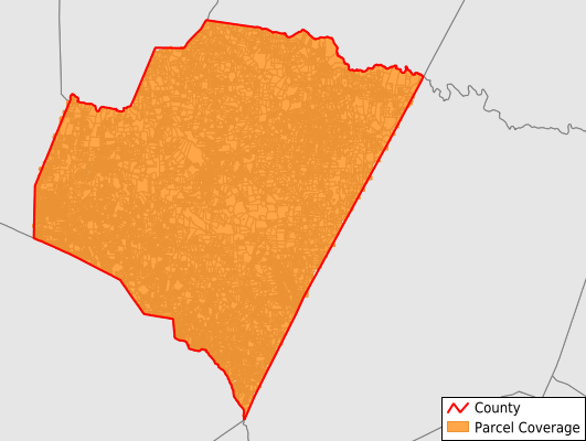
Franklin County
Parcel Data
Price: $200.00
Last Updated:
2025-Q2
Parcels in County:
48,887
Parcel data available to download as a GDB, GeoPackage, Shapefile, Excel, CSV, or Google Earth KML file.
All purchased data comes with six months of access, including any updates, at no additional cost.
Key attribute coverage for Franklin County
The percentage of Franklin County parcels containing the following key attributes:
Owner: 99.9%
Parcel Number: 100%
Acreage (Calculated): 100%
Site Address: 0%
Mailing Address: 99.4%
All available attributes in Franklin County
Parcel Number
Site Address
Owner
Transfer Date
Sale Price
Neighborhood Code
Land Use Code
Zoning
Acreage (deeded)
Acreage (calculated)
Perimeter
Municipality
School District
Zip Code
Flood Zone
Flood Zone Subtype
Census Tract
Census Block Group
Census Block
Total Market Value
Land Market Value
Building Market Value
Mail Address1
Mail Address3
Legal Desc1
Buildings
Place Gnis Code
Land Cover
Elevation
Robust Id
Alt Id 1
Crop Cover
Acreage Adjacent With Sameowner
Municipalities Respresented in Franklin County
Dunn Township: 5,494
Harris Township: 5,254
Youngsville Township: 12,064
Franklinton Township: 7,457
Hayesville Township: 1,697
Sandy Creek Township: 2,343
Gold Mine Township: 1,583
Cedar Rock Township: 1,905
Cypress Creek Township: 5,764
Louisburg Township: 5,326
Save money when you buy data in bulk
We offer discounted pricing on county and state downloads.